Detection Methods
What are they, and which is best?
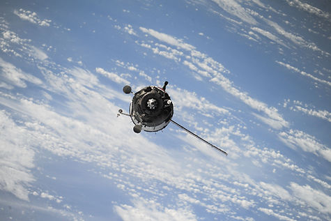
The primary methods currently in use for plastic detection are aerial photography, satellite imagery, observer-based spotting, and unmanned aerial system photography (drones). Each of these employs combinations of various sensors and imaging technologies in order to identify types of plastic floating in waterways. During the course of this project these methods were explored to determine the best tool for identifying and tracking plastic pollution in waterways.


Analysis
Of the four explored detection methods, there is no one perfect option. Rather, we determined that the best course of action would be to use both Satellite Imagery and drones in tandem as it is the most cost effective and eco-friendly option. Although the observer-based and aerial methods may provide greater resolution than satellites because of their relative proximity to the earth, our research indicated that these methods were not viable possibilities.
Observer-based spotting, although typically accurate, introduces the issue of human safety concerns, as well as, bias into the study related to the observer’s training and experience level. Reliance on human observers and varying levels of expertise also drastically increases the cost of data collection and eliminates the possibility of recreating data - nearly impossible to reproduce the exact conditions of the survey, and two observers will almost never have the exact same findings. This method also does not collect any tangible documentation of the detections other than a written record of category type and GPS coordinates (15). Thus, making it impossible to reexamine observations to verify the accuracy of the data collected, or scale the findings to determine how much trash there truly was.
When compared to observer-based spotting, aerial photography has clear advantages. This method produces a permanent record for analysis reducing the impact of human error and increasing the accuracy of findings (15). The images collected can also be scaled to determine the size and relative amount of litter in a given area (12). Aerial photography also only requires a crew of one to two people - a pilot and possibly a camera operator - drastically decreasing the cost and training time (15). When compared to satellite imagery, aerial photography has both benefits and drawbacks. Because they fly closer to the earth than satellites travel, aircraft are able to collect higher resolution photos, providing more detailed data (2). However, the amount of data that can be collected during a single survey is limited by the storage capacity and battery life of the camera being used. There are also gaps in the data collected, which can be decreased by flying slower and increasing camera shutter speed, but not completely eliminated (15). Finally, aerial photography, like observer-based spotting, requires the use of a combustion burning mode of transportation going against the goals of the Green New Deal, unlike satellite imagery which is solar powered.
Of all the methods explored, drones are capable of collecting the most detailed data for analysis because they are able to fly the closest to the surface. However, these small devices when acting alone take significantly longer to gather this data, and the images are difficult to scale and recreate (2). Drones also can only be employed by skilled operators during ideal weather conditions. Using satellites as the primary data collection method makes use of existing systems drastically decreasing the cost of tracking. It also allows for continuous monitoring uninhibited by human influence, as it acts fully autonomously and is able to collect data in weather conditions that would prevent a drone survey such as high winds (7, 30). This will allow for increased data coverage and a general identification of potential plastic litter hotspots. Furthermore, this method provides both repeatability and scalability factors to the data that cannot be achieved from the use of drones alone (2). Drones can then be used to improve the geo-referencing of the satellite images, and assess their plastic percentage coverage (40). Additionally, by exploring the identified hotspots in greater detail to achieve the two previous goals, these devices can further identify plastics hidden beneath vegetation/the surface prior to clean up efforts. The high resolution images gathered by the drones can also aid in identifying the sources of litter feeding into these areas to provide valuable information for the implementation of preventative measures.


